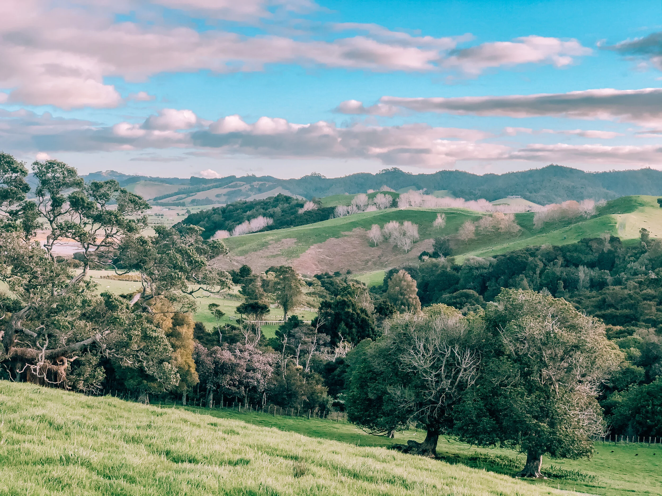
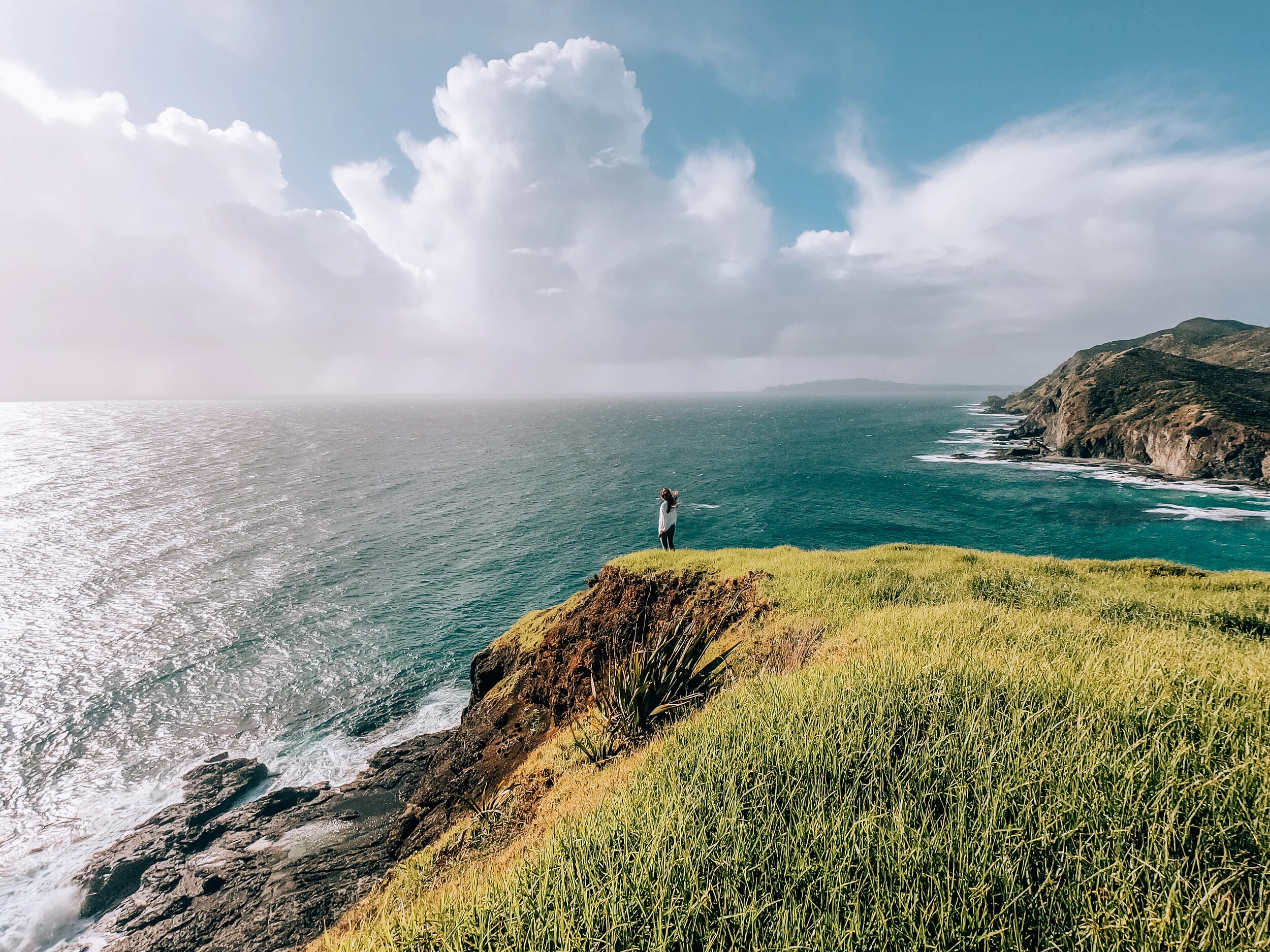
That I was able to wander to New Zealand’s most beautiful hidden corners during a global pandemic and while stranded abroad, is something I’ll never take for granted. I can still hardly believe that this place exists in real life, and better yet, with some views only a stone’s throw away from home. It’s been an absolute dream and one that I can only wish will happen again (minus the pandemic part). Here are a few of the incredible walking and hiking trails I wandered to in the North Island. I’ll be back South Island. Very soon.
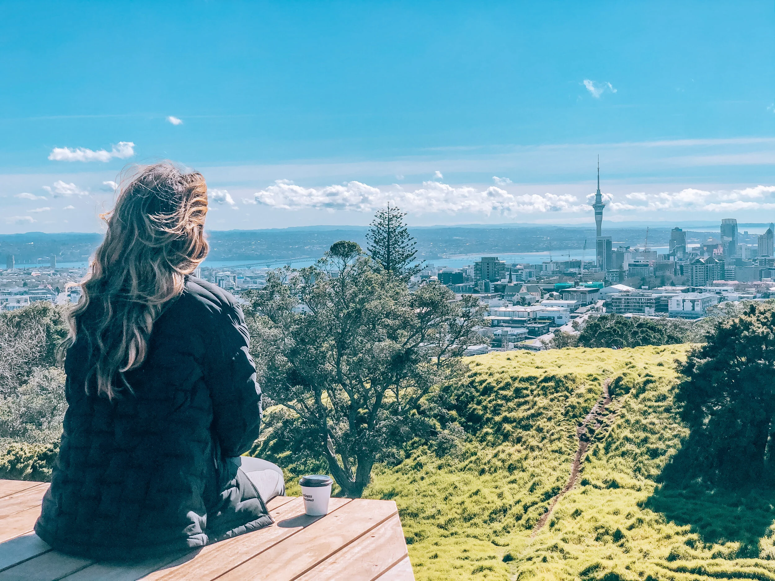
A wander up to the summit of Mt Eden is an absolute must when in Auckland. You’ll get the chance to walk on one of the city’s 50+ volcanoes which erupted no more than 28,500 years ago. It’s a 20 min easy walk uphill from the historic tram stop on Mt Eden Road, passing by Whau Cafe en route. Finally, once you make it to the top, you’ll be rewarded with stunning 360° views of Auckland, as well as a boardwalk to walk the perimeter of the crater.
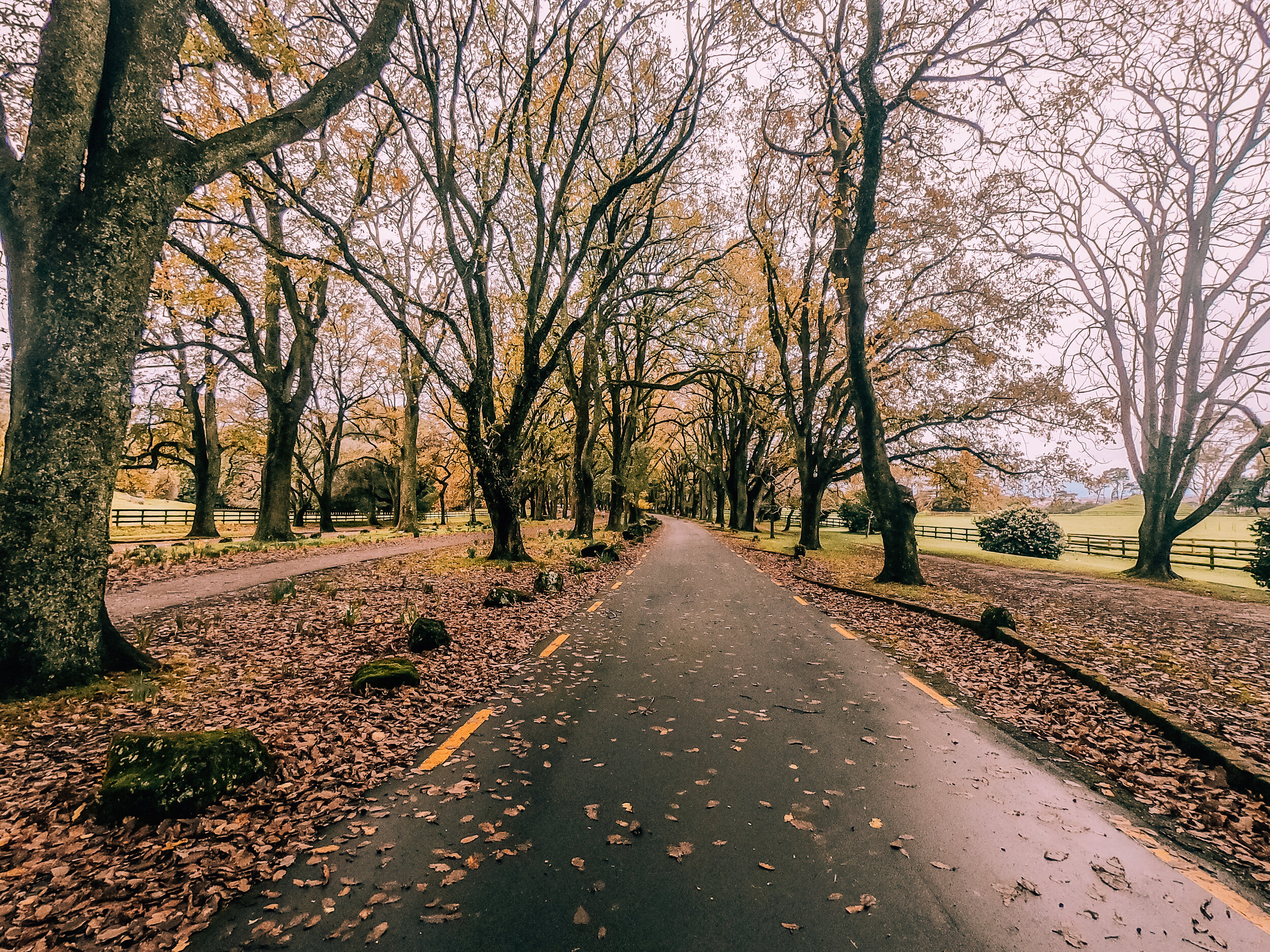
One Tree Hill, which lies within the gorgeous and massive Cornwall Park, is the second largest volcano in the Auckland Volcanic Field. The first question that came to mind as I made the steep climb was ‘where’s the tree?’ - a.k.a the adult version of ‘are we there yet?’. Well, unfortunately, the ‘One Tree’ is no longer there, but has now been replaced by an obelisk installed at the request of a Sir John Campbell to honor the Maori people. The walkways and tracks are great, the views from the top of the hill are unbeatable, and the park is a fantastic place to relax and roam around in.
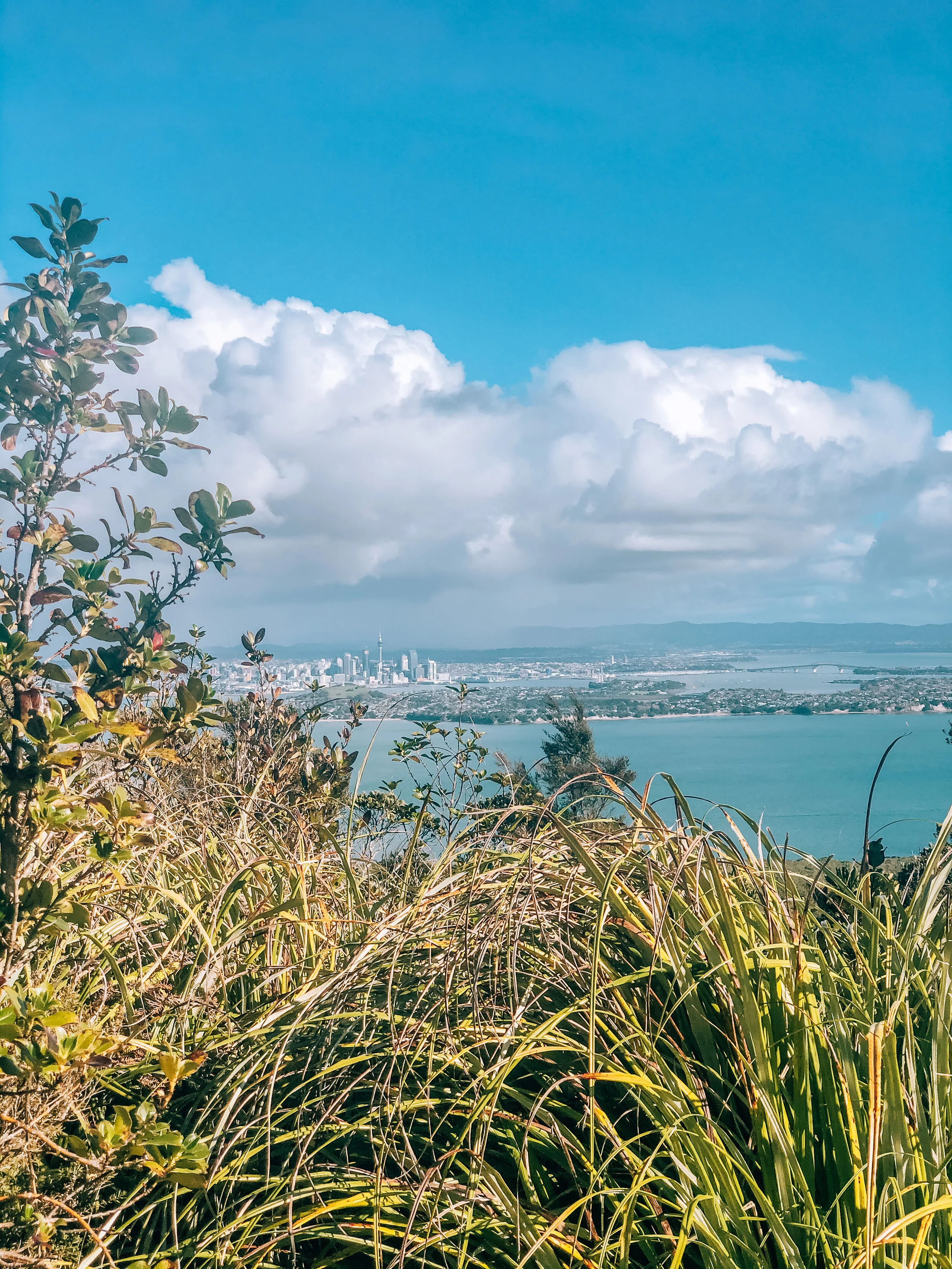
Rangitoto Island is the first thing that pops into my head when I think of Auckland. You simply can’t miss the city’s largest and youngest volcano, and the only one that erupted from the sea. Although currently dormant, the 600 years old volcano still has an active field and is likely to erupt again in its lifetime. From Auckland, you can hop on the Fullers ferry, a 25 minutes trip each way, to get to the island. The ride costs NZD 39 when purchased online in advance or NZD 43 in person. Make sure you know when the last ferry returns from Rangitoto as there is no accommodation on the island, so don’t get stranded! The walking track up to the summit takes you through the world’s largest pōhutukawa forest and incredible lava fields. You’ll have the option of a short detour to discover the lava caves along the way. The overall walk is moderate in difficulty, and only gets you huffing and puffing closer to the crater which will, in addition to the views of Auckland City and the Hauraki Gulf, leave you in absolute awe. Total time spent here was 4 hours. Tip: Make sure you carry enough water, snacks, and a bag to dispose your rubbish as there are absolutely no stores or rubbish bins on the island. The ferry does offer a small canteen on board should you wish to shop from there.
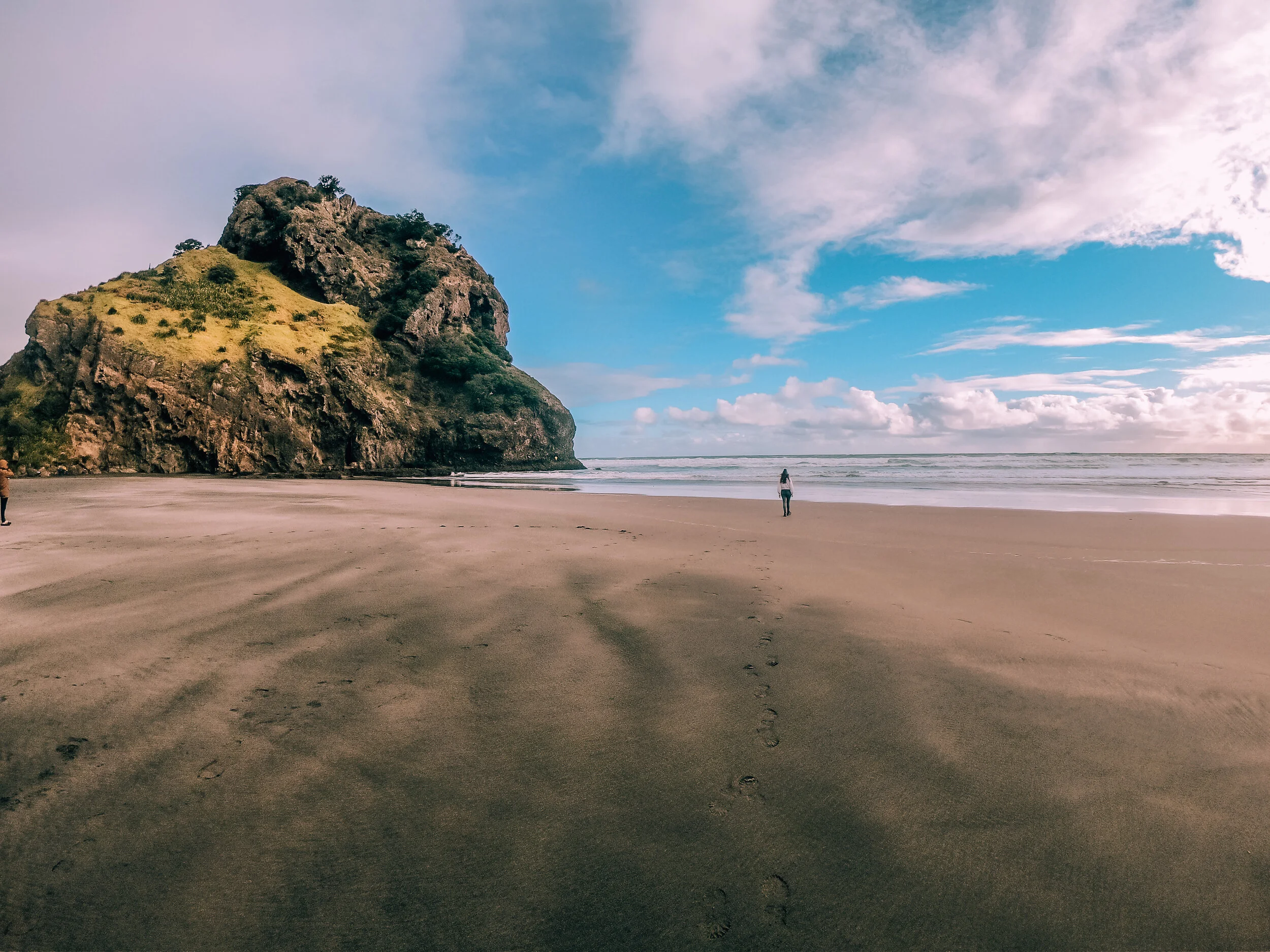
Piha’s black sand beach is absolutely stunning. Located on the west coast and only a 45 minutes drive away from Auckland, the beach is the sweetest escape from the hustle of the city. You can climb half-way up its Lion’s Rock, which is the eroded remains of a volcanic vent that erupted around 16 million years ago. It’s a quick 10 minutes tops steep climb, where you can soak in the view and sound of the waves of the Tasman Sea. The beach is also a great place to simply relax by, picnic, and enjoy a walk barefoot on the black sand.
Photo by Fergus lang
Photo by Fergus lang
Definitely do go chasing waterfalls. Especially when they’re as spectacular as this one. Kitekite Falls is a 3-tiered waterfall located within a tropical jungle. The path starts at the end of Glen Esk Road. We started the bush walk by visiting the top first, which was an uphill trail with uneven rock areas and stream crossings. There, we got to see the jungle from an elevated point. Then, we went down all the way down to see the falls which was breathtaking. I was told that during summer, the spot becomes a popular swimming pool. Kitekite Falls is an unfailing reminder of just how stunning nature can be. The total return trip took an hour to complete.
Photo by Fergus Lang
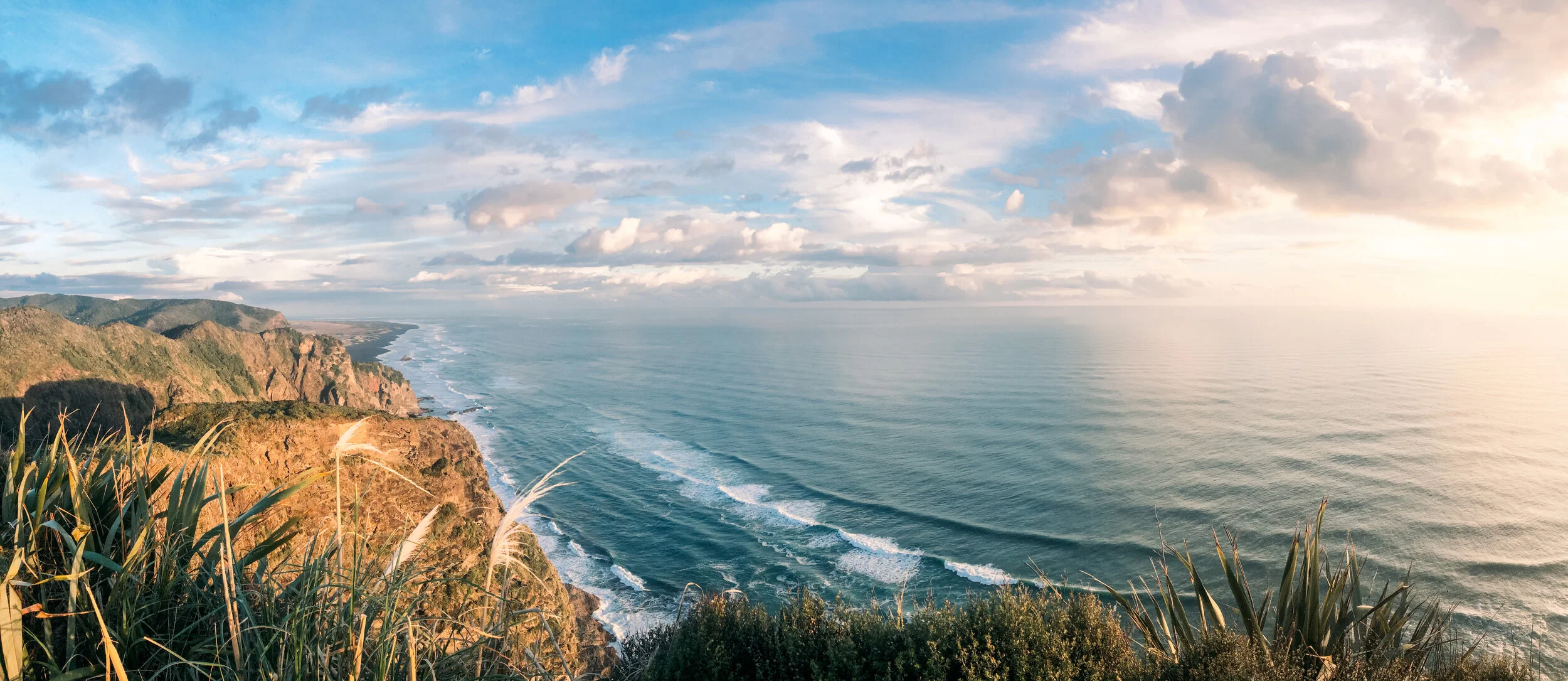
The golden hour at Mercer Bay Loop is one of my favorites in the world. The water is insanely blue and seemed to match perfectly with the cloudy sky that evening. We did the short coastal walk to the lookout point, stopping by the ‘pou’ Maori carving dedicated to a young woman, Hinerangi, whose sad story is inscribed there. The trail reveals dramatic cliffs which, when paired with the sea, will give you absolute chills. Do be very careful not to wander too far as the cliffs can be very dangerous. The total return trip took an hour to complete.
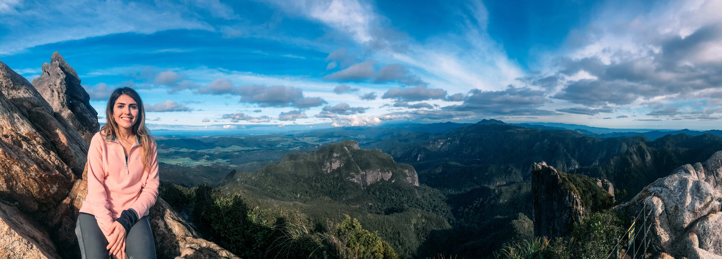
The hiking trail up the Pinnacles is truly the stairway to heaven. It’s where the jungle-covered mountains meet the waves of the Pacific Ocean. Located about a 2.5 hours drive away from Auckland, this trail begins from a carpark located about 9KM away from the Kauaeranga Valley Visitor’s Centre. That’s where your first ‘washroom’ is located before the next, 3 hours later. A point I think is worthy of mentioning 😬. The stunning 3 hours walk to the Pinnacles Hut traverses through rushing rivers, endless trees, steep staircases, and swingbridges. From the hut, it’s about 40 minutes to reach the final summit point, where you’ll be stunned by the panoramic views of the Coromandel and the sounds of the breeze rustling through the trees. I followed the same route back down, which was more challenging as fatigue had kicked in by then and the sky was darker. This hike took about 9 hours in total in addition to the drive time from Auckland, so requires an early start.
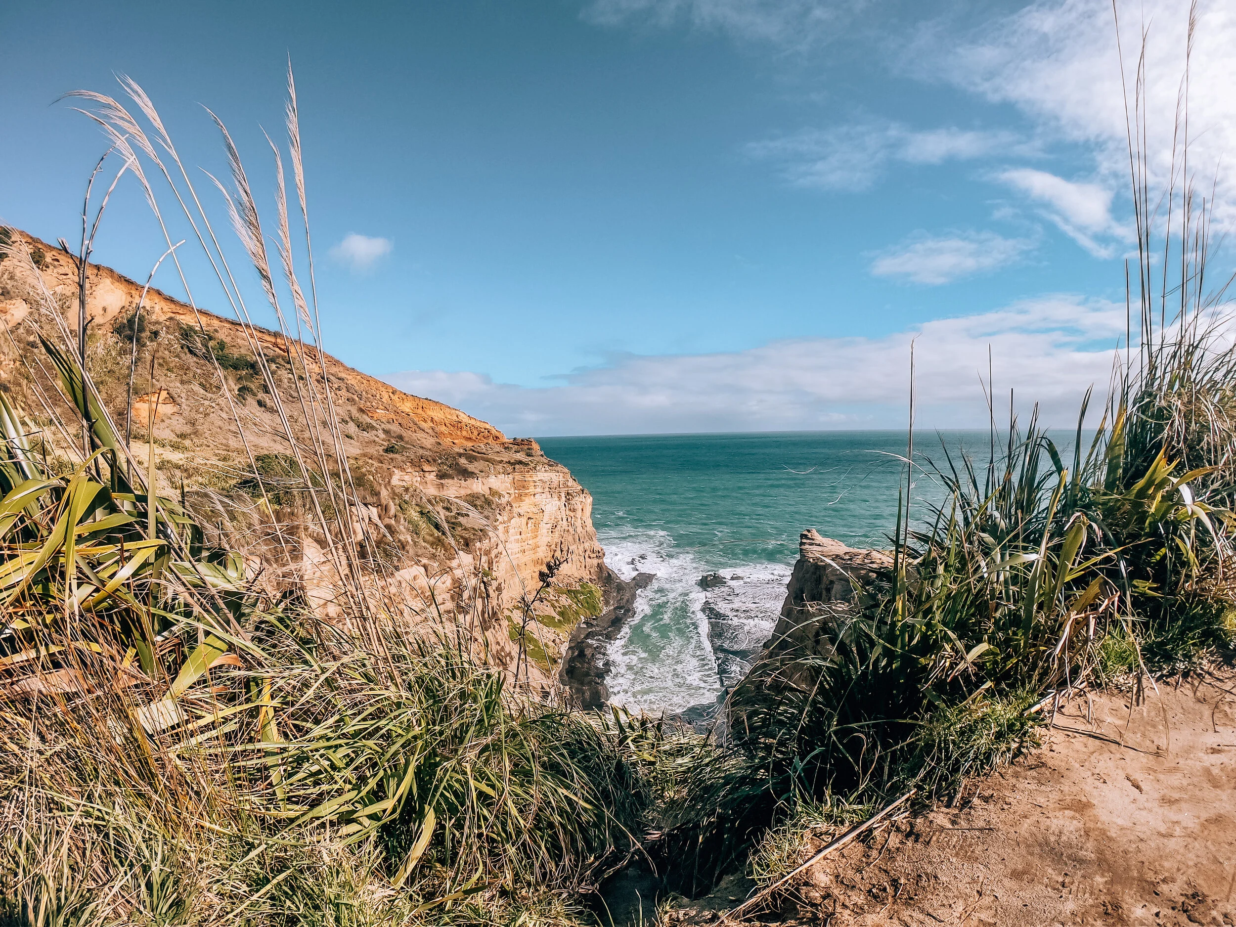
One of the things I loved most about the Te Henga Walkway was how it stood so silent and still, except for the sound of the waves. Almost an hour’s drive away from downtown Auckland, Te Henga is a walk along Auckland’s gorgeous west coast which is a part of the bigger Hillary Trail. The track is about 10KM from Muriwai to Bethells which can be walked either way. A genius approach (thanks Fergus!) and one your calves would thank you for, would be to start from Muriwai and go downhill to avoid a steep hill, and have a car parked at each end to avoid the same walk back. However, as that wasn’t an option, I began the trek from Constable Road at the Muriwai end which was a perfect downhill start. I was stunned to see the orange soil with a hint of red that becomes even more vibrant as the sun sets. Little did I know that Maori name Te Henga actually means sand. The path then was muddy because of the earlier rain so my boots unfortunately did not come out unscathed, but nothing really mattered when I set my eyes on the beauty before me. Grassy cliffs, rock formations, and crashing waves. A highly recommended trail which was moderate in difficulty mostly owing to the Devil’s Staircase I had to face heading back to the car. Total trekking time was 6.5 hours at a moderate pace.
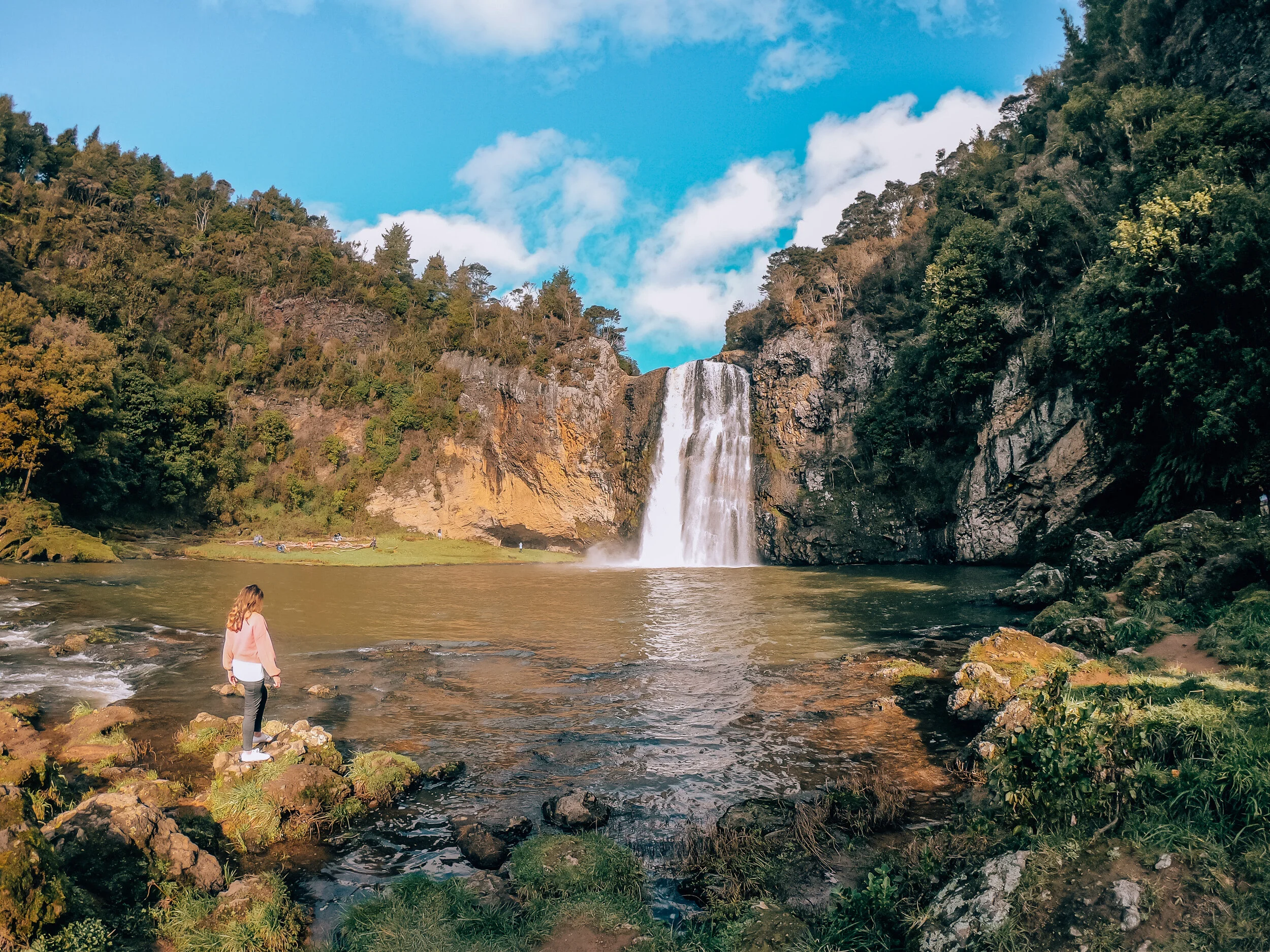
Hunua Falls is straight up waterfall magic. It didn’t take long to convince me to make this trip. It is a spectacular 30m waterfall on the Wairoa River which carves through an ancient volcano. I followed the Falls path which is an easy 15 min walk through the lush forest to arrive at an elevated lookout point. Afterwards, I made my way to the base of the waterfalls just to feel the cold water splashing on my skin. Incredibly picturesque and a favorite picnic spot for the locals. I recommend arriving in the early morning if you want to dodge the crowds.
When a casual drive through the outskirts of Auckland turns into one of the most beautiful adventures you’ve ever been on. A stroll through Duder Regional Park in Clevedon takes you back to its origins in the 1300s where you can see the remains of the fortified Maori settlement, and views of the Hauraki Gulf. I followed both red and blue tracks which take you through the farmland, and around the coastal edges, which were both jaw dropping. The park is so massive that you might not see people for miles, which is perfect because it’s a not-so-secret-anymore paradise. P.S if you really zoom in to the top right photo, you might just spot an awe-struck wanderer. Total time here was about 3.5 hours.
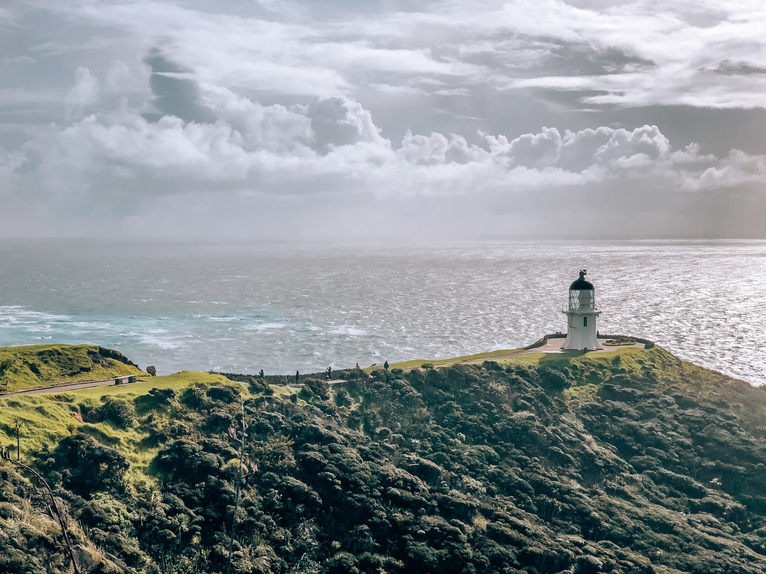
There are so many incredible things to see in New Zealand, and I feel like I’ve barely even scratched the surface. I keep counting my lucky stars that I was able to see so much of it, particularly Cape Reinga, which I arrived at the start of the trail just in time for a massive rainstorm to hit. But I held tight and braved the rain as I hiked from the Tapotupotu Campsite to reach the lighthouse, which took about 3 hours, and was no easy feat. I’d stop mid-track and just close my eyes, hear the sound of waves crashing on the shore, and smell earth. I find it pretty incredible what Mother Nature can do just by being her, nothing short of magnificent. At Cape Reinga, you can actually see where the Tasman Sea and the Pacific Ocean meet which is eerily beautiful. This place is sacred to the Maoris and is believed to be where the souls of their passed loved ones descend into the underworld. They then continue on their journey to Hawaiki, their spiritual home. I walked on the paved road back to the campsite which took about 2 hours. The total return trip took 6 hours to complete.
New Zealand, thank you for never ceasing to amaze me with your unquestionable raw beauty and for not letting me forget to appreciate earth’s hidden treasures at every turn.


